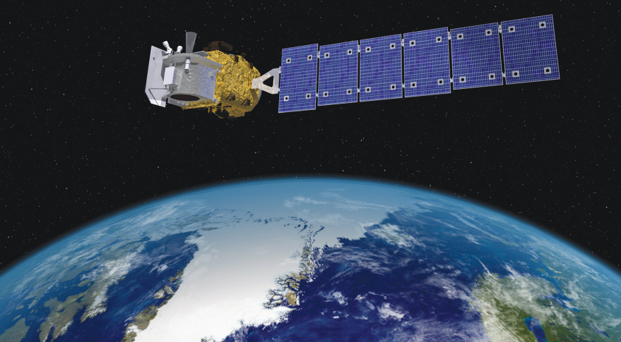
The American space agency has launched a laser into orbit to measure the condition of Earth’s ice cover.
The satellite mission, called ICESat-2, should provide more precise information on how these frozen surfaces are being affected by global warming.
Antarctica, Greenland and the ice floating on the Arctic Ocean have all lost volume in recent decades.
ICESat-2 will track ongoing change in unprecedented detail from its vantage point some 500km above the planet.
Read more at BBC

